Currently browsing tag

GIS

Dave Potts

Abstract Is it possible, using GIS technologies, to undertake a theoretical analytical evaluation of possible maritime trade routes of the Roman Empire, their relationship and patterns of change, using data from the distribution patterns of trade goods, location of ports and analysis of shipping potentials?... Continue reading →

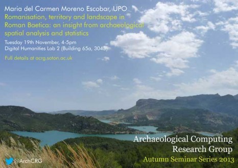
Romanisation, territory and landscape in Roman Baetica: an insight from archaeological spatial analysis and statistics

This seminar will deal with alternative insights into the issue of Romanisation (understood as the cultural change between pre-Roman and Roman times) in the south of the Iberian peninsula. Traditional ways to deal with Romanisation have focused on archaeological items such as pottery, funerary traditions and architecture, and therefore have studied individual elements of the archaeological record as evidence for cultural change. Continue reading →