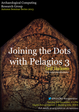
Joining the Dots with Pelagios 3
The Pelagios 3 project is a community-driven initiative led by the University of Southampton that is annotating, linking and indexing place references in documents that use written or visual representation to describe geographic space prior to the European discovery of the Americas in 1492. They include ancient and medieval geographic descriptions (geographiae and chorographiae and itineraries) world maps (mappaemundi) and portolan charts.
Continue reading →
